- France
- Spain
- Portugal
- Region of Extremadura (Spain)
- FWI (Canadian Fire Weather Index)
- GTX (Monthly mean of daily maximum air temperature)
- R10mm (Number of days with precipitation greater than 10 mm)
- SPI12 (Standardized precipitation index for 12 months)
- Annual mean
- Seasonal mean (spring, summer, autumn and winter)
- Monthly mean
- NetCDF
- PNG
- SHP
- GeoTIFF
Visualization and download of climate indices
Work Package 4, Indices Catalog, Definition and Implementation, offers to users the possibility of download 136 climate indices in NETCDF format (https://indecis.csic.es/).
These NETCDF files cover a spatial domain of the whole Europe and 68 years of temporal record (from 1951 to 2018). Depending on the index, the temporal scale of the values is monthly, seasonal or annual scale.
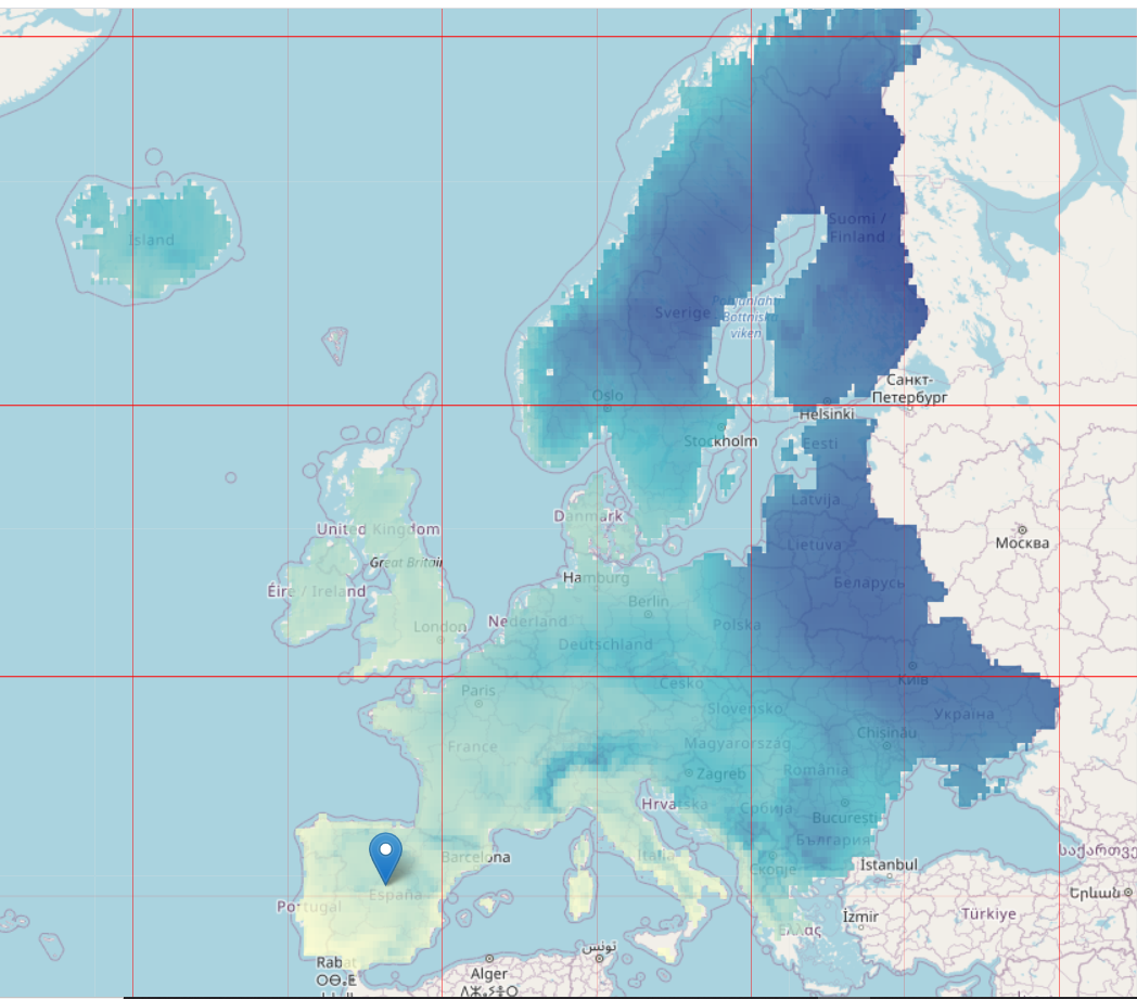
The files sizes are very huge due to the great spatial and temporal coverage. Therefore, in order to facilitate the handling of indices to the users, in Work Package 7 the Cut-netCDF software has been developed for cutting the NETCDF files choosing the spatial area and the temporal coverage.
This software consists of three R scripts that cut the netCDF files containing the climate indices defined in WP4, from all over Europe, and from the entire time period into smaller files for each of the European regions (NUTS) and for each of the indices, years and accumulations that are chosen. Thus, the resulting files are easier to manage and user-friendly due to their greater specificity and their smaller size. The package can be found here: Cut-netCDF.
Downloaded files are smaller and consequently easy to handle. They are also more specific to necessities of the users.
The resultant files can be also saved in the original NETCDF format or in four different formats: PNG, PDF, GeoTIFF, and SHP) that covers diverse user's necessities. Depending of the chosen browser, some files are directly visible.
Here below, several examples obtained from Cut-netCDF software are shown for :
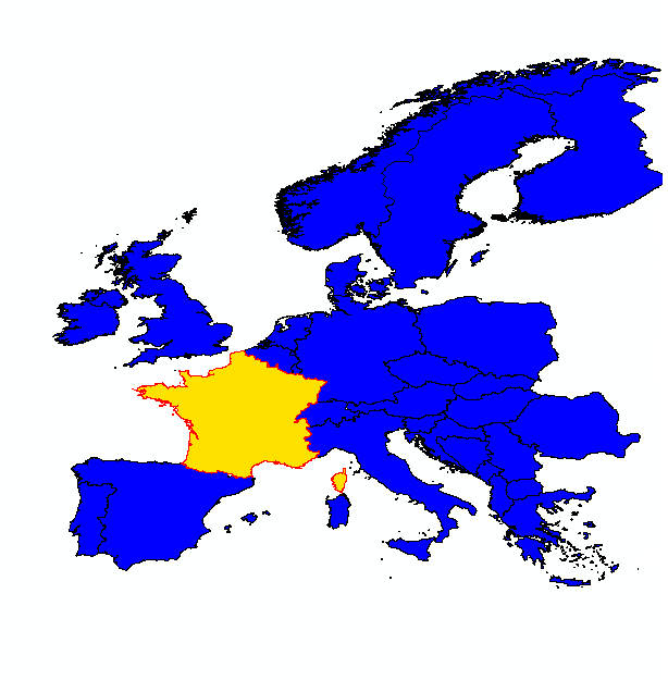
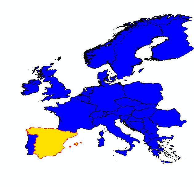
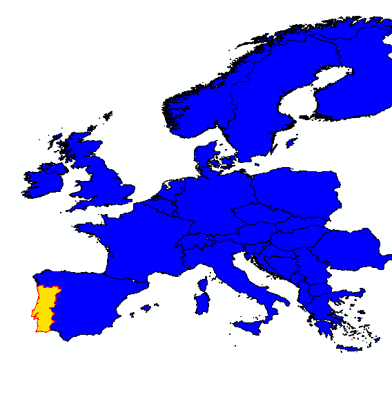
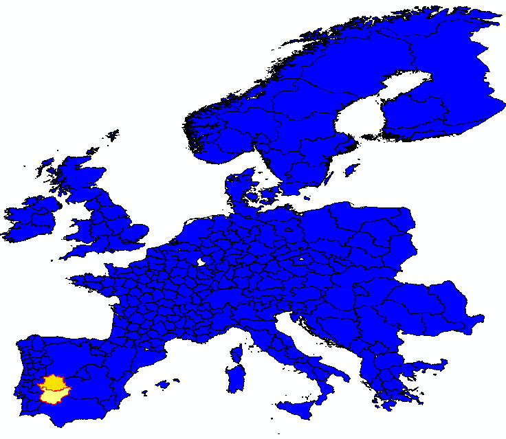
As examples, several indices can be downloaded:
For FWI, GTX and R10mm indices the available values are:
For SPI12 index, monthly values are available.
Possible format for the download files are: